Bacon's Popular Atlas
1904
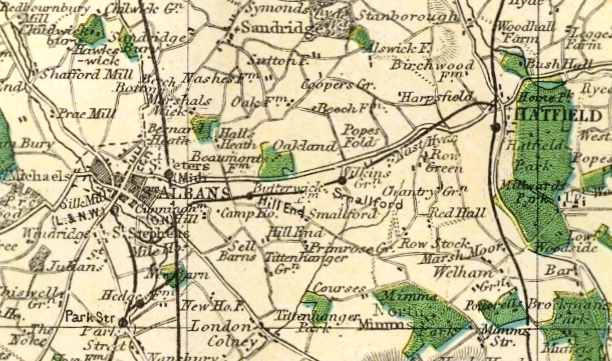
During the later part of the 19th century many "Bacon's" maps were published, based on the Ordnance survey. This 1904 variation is coloured to show the parliamentary divisions, and has been selected because it shows the railways at the end of the 19th century. The above sample shows the St Albans to Hatfield Railway.
Page created May 2007