|
|
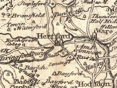
The Agreeable Historian by Samuel Simpson
Map of Hertfordshire 1746 Robert Walker |
|
|
|
The Agreeable Historian by Samuel Simpson
Map of Hertfordshire 1746 Robert Walker |
|
|
The agreeable historian, or the compleat English traveller; giving a geographical description of every county in that part of Great-Britain, call'd England ... With a map of every county prefix'd to each, from the best and latest observations, after the designs of Herman Moll, and others ... [Volume II] by Samuel Simpson, gent London, printed by R. Walker, 1746 |
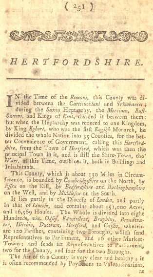 |
[The text appears to be identical to The English Traveller.]
For extracts of the text see Abbots Langley, Elstree, Flamstead, Hunsdon, Kings Langley, Redbourn, Sawbridgeworth, Wheathampstead
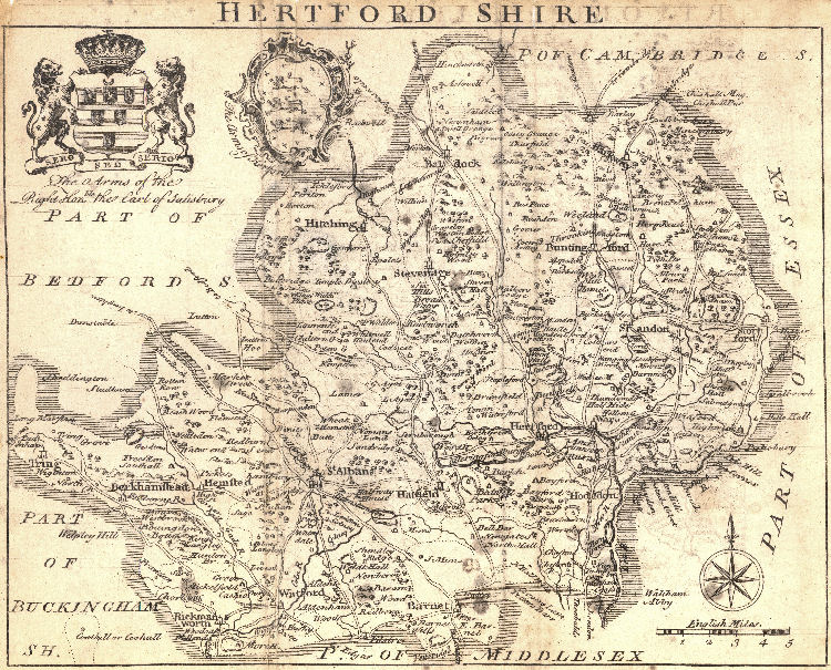
Scale 1 mile = 0.19 inch
This map comes from a guide book of the English Counties and the arms are those of the Right Hon the Earl of Salisbury and of the City of Hereford - described as "The Arms of Hertford". This would seem to be a "printer's error" as the Hereford map includes the arms of St Albans labelled as "The Arms of Hereford." [Details of map from Printed Maps of Hertfordshire.]
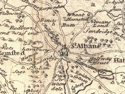
For the parish of Sandridge the map shows: Sandridge and Nomans Land
| August 2010 | Rescanned maps, etc | |