Joshua Archer's Map of Hertfordshire
Various editions 1842-1860
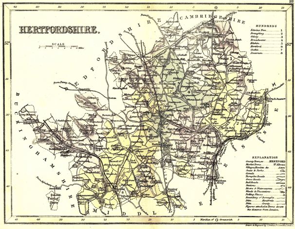
 Curiosities of Great Britain, England
& Wales delineated ... by Thomas Dugdale, antiquarian. Assisted by
William Burnett
Curiosities of Great Britain, England
& Wales delineated ... by Thomas Dugdale, antiquarian. Assisted by
William Burnett
A later version (1870) appears in The topographical dictionary of England and Wales. Edited by E. L. Blanchard.
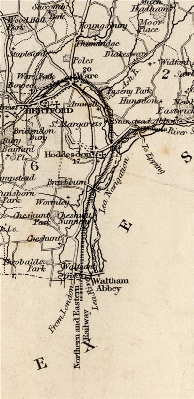
Based on the map, first issued by John and Charles Walker in 1835. The earliest maps showed the London and Birmingham Railway in the west, and the railway from London to Hertford, with a branch to Stanstead Abbots in the east (as shown). Later additions can be dated by the additional railway lines shown.
For another detail see the Tring Area
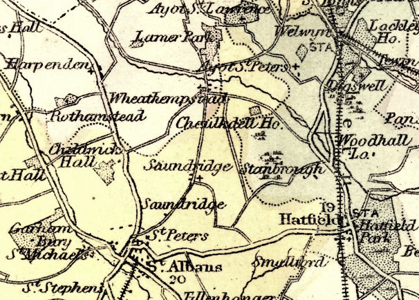
The above detail shows the parish of Sandridge
Page updated November 2008