Faden's
The Country Twenty Five Miles Round London
1788
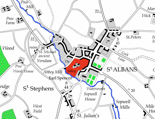
An excellent 1 inch to the mile survey which includes many places on the southern half of Hertfordshire. A redrawn digitised version has been produce by Andrew Macnair and may be ordered online at www.fadensmapoflondon.co.uk
The following excerpts come from the digitised map.
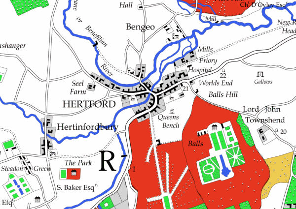
Faden based his map on existing surveys, and for Hertfordshire he would appear to have used Dury and Andrews map of 1788
| At the time this page was last updated the map was available from the publisher |
| April 2010 | Page Created |