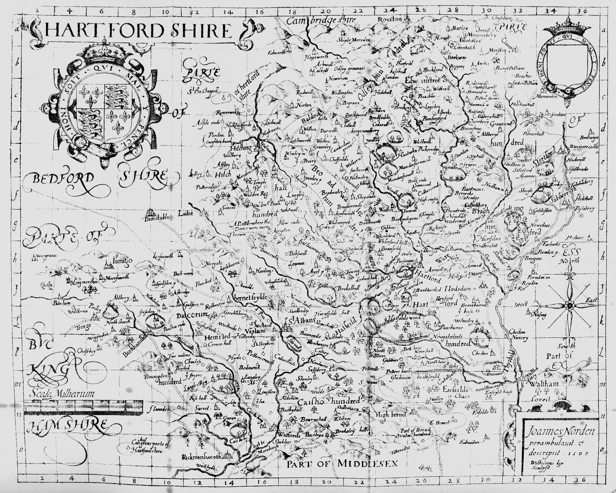
Hartford Shire
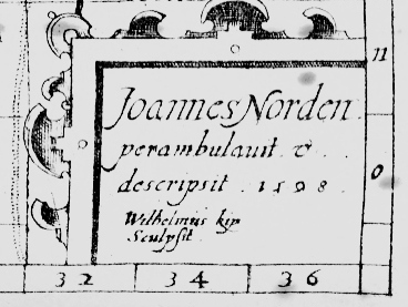
John Norden
1598
 |
The map used here is from the 1903 reprint of
SPECULI BRITANIÆ
PARS
A Description of
Hartfordshire
by John Norden, 1598
This is the first map of the county to show roads or the detached parts of the hundreds and the county. Another new feature is the graticule with reference letters and figures and Norden explains in The description of Hertfordshire that:
The figures and letters which followe the names of the places in the alphabeticall tables, are a ready meane whereby to find, any place desired in the Mapp, by referring them to meet, in the squares, very familiarly: without which helpe a place vnknown would be long to find in the Mappe. Betweene the lines is 2. miles, by which a distance may bee found without compasses.
The Printed Maps of Hertfordshire 1577-1900
|
|
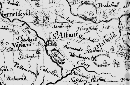
< Detail of the
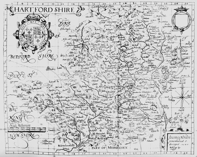
Click thumb for a large (2mb) image of complete map. |
|
Another innovation was the table of distances, which were in use for more than a century.
click table >> |
|
Page created April 2007