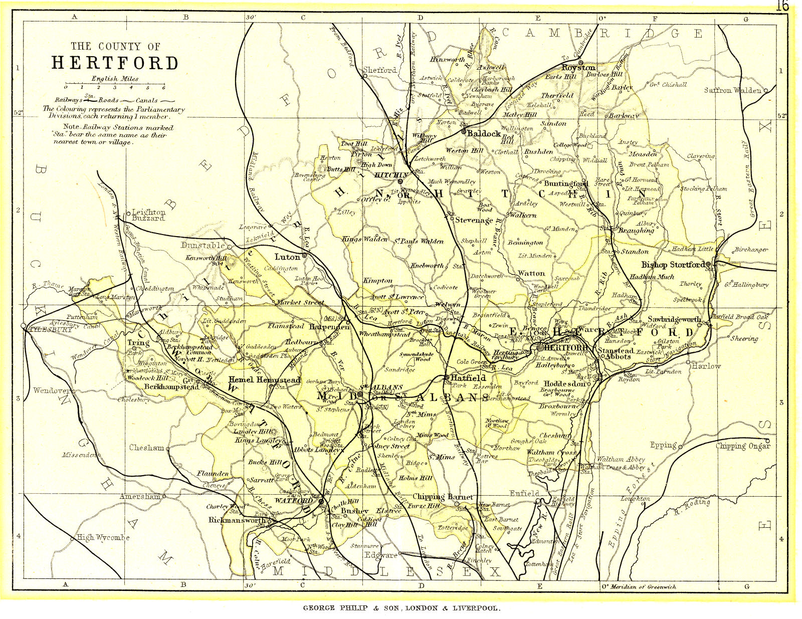
Click on map for larger image in new window
Published by George Philip & Son, London & Liverpool.
Map size 7.7" x 5.8" on a scale of one Mile : 0.17"
This map (Reference 121M in Printed Maps of Hertfordshire, engraver John Bartholomew) probably came from the 1895 or 1896 edition of Philip's handy atlas of the counties of England ... New and enlarged edition, shewing every railway station in England and Wales.
The map also shows the parliamentary constituencies of West Herts (Watford), Mid Herts (St Albans), N Herts (Hitchin) and East Herts (Hertford).
December 2010 Page created