|
Locating Census Addresses on
Maps |
|
|
It is important to realise that the order of
the households listed in a census return is not random - but represents the
route that the census enumerator took when calling at the houses. In addition,
at the start of each census return book there is a verbal description of the
route. By noting where a household appears in a book it is possible to determine
where on the route it occurred on - and by relating it to its near neighbours it
is sometimes possible to identify the actual house if you visit the area or have
access to a good map.
Unfortunately the verbal descriptions are not
included on the 1881 census CD and are omitted in some other indexes and
transcripts. However, because the 1881 census is available to many, and because
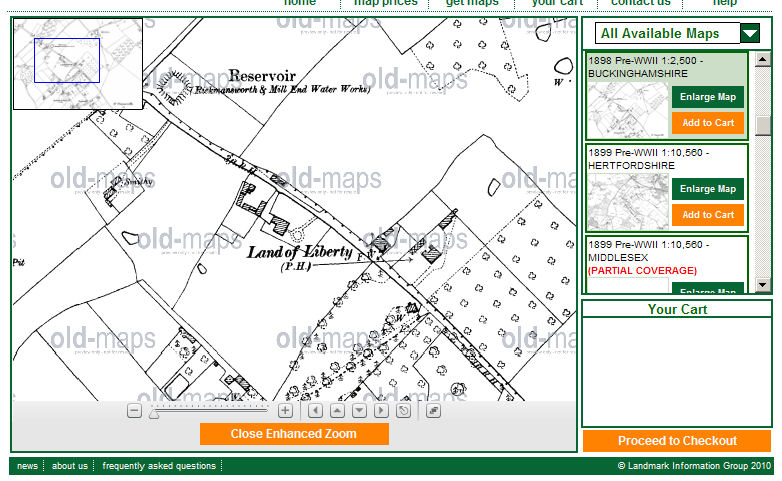
contemporary large scale (6 inch to the mile) maps are available online , I will work through a number
of 1881 census examples relating to families mentioned on the old forum. I also
use a modern Hertfordshire street atlas - but you could use
modern online maps.
|
|
|
Since this page was
first written
Google Maps
has introduced satellite views and more recently street
views. The satellite views can be very useful for
examining the surviving buildings and boundaries in
rural areas, which have changed relatively little, while
the street views may even include a relatively high
resolution picture of your ancestor's home if it is
still standing. |
|
~~~~~~
Peter POULTER is listed in the 1881 census as living on the Common,
Redbourn. By selecting Neigbours and going back to "page 1"
you can trace out the route the enumerator took:
|
Census address |
Map information |
|
Redbourn High Street |
Probably the West side to the South of Fish Street |
|
Fish Street |
Probably South side only |
|
Common - School House |
School (Boys) on South of road |
|
Common - Dairy Farm |
Unidentified buildings on South of road |
|
Common - Silk Mill |
Silk Factory |
|
Common - The Cricketers |
Cricketers P.H. |
|
Common [a lot of unidentified houses] |
Presumably the long row of ?cottages? which has the Cricketers at the
North end.. Peter
POULTER was the 16th household. |
|
Frogmore |
Note the pond and sluice. (a suitable place for frogs) |
|
Church Gate |
? Opposite Church End ? |
|
Gate Keepers House |
|
|
Flowers Farm |
Flowers Farm - in the countryside to the South |
|
Wood End |
Wood End (on different sheet to South West) |
|
Cherry Trees (etc) |
Cherry Tree Farm |
From the above it is possible to reconstruct
the enumerators route which started at the South West end of the High Street and along the South side of the road to Hemel Hempstead and back through the countryside
picking up farms within the parish. A further search of the census returns shows
that Church End, Redbourn, and other places
to the north of the road to Hemel Hempstead
are on a different route in a different census book.
~~~~~~
In the case of Martha
GEARD of Hitchin, a check of the
census suggests that you left the Market Square
and entered Sun Street and almost
immediately come to the Sun Hotel, next door
to which is Martha's school. A school is marked in a possible location -
although the old OS maps are not so good in crowded town centres.
~~~~~~
In attempting to locate Thomas SLOW's Hill End Farm,
Hemel Hempstead, I worked with a text copy of the 1881 Hemel Hempstead census A text search for "Hill End" located a reference to a pair of
unoccupied cottages. As the neighbours were Chaulden
Lane, Winkwell and Pouchen End on one side and Fields
End, Boxted and Warners End Farm on the other there was no great
difficulty in finding it on the old OS map.
~~~~~~
One major problem is that of the yards off the
older town centre roads. Many hundreds of years ago houses were built facing the
road, with access to the rear. As the town grew the back of the property
developed - with stables, workshops and cottages often entered through an
archway. These rear developments could become very complex, and often one would
find the worst slums in such situations. If the yard was behind a posting inn
there might be very extensive stables and even a smithy - and the yard would
normally be named after the inn. In other cases the yard may simply be named
after the shopkeeper in the house by the archway at the time, who probably owned
the yard.
Ideally the census enumerator would work his
way along one side of the street or market place, looking in the yards as he
passed by, and giving them a name by which it could easily be identified.
Unfortunately, in some towns some enumerators simply labelled all the properties
facing the High Street, and all the yards, with the simple words "High
Street" and it is then very difficult to identify who was living on the
High Street, and who was in the yard behind.
Fortunately the enumerator who did the Hemel
Hempstead High Street in 1881 carefully identified the yards. The one who did
the West side started at the North End, with the house of George REYNOLDS, a corn merchant. He then turned into
"Lawrence's Yard" (where the car park entrance now is), where Shadrack SPURR was living, presumably behind the
house of James LAWRENCE, a master tailor.
There was then a block of houses facing the High Street with no rear access (as
can still be seen to this day). There is then Jeffery's Yard, where William SPURR lived, the house at the entrance to the
yard being occupied by Thomas JEFFERY. (The
gap between the houses still exists). Further along the street were the Coach
and Horse and the Brewers Arms (both of which are listed as two households - one
probably being round the back.) There is then another entrance to Keen's Yard,
entered alongside the shop of Daniel KEEN, a
master butcher (now selling dolls houses!).
A visit to the High Street today shows an
almost identical frontage - so there is little difficulty in identifying the
properties. However an ordinary street map does not show the former yards -
which in many cases were merely entrances onto private property, and the old 6
inch to the mile OS Map only allows you to identify the entrances to what the
enumerator called Lawrence's yard and Keen's Yard - and then only if you know
what you are looking for. (The larger scale 1:2500 map is far clearer - but is
not available online - although it is available as a reduced scale facsimile.)
~~~~~~
For another example of the approach see WELLING,
Potten End, circa 1900
For a different example, identifying a new
build area which changed it name, see
Pound Field,
St Michaels, St Albans, 19th Century. This makes use of the
descriptions of the enumeration districts in 1851, 1861 and 1871.
Dimsdale Building,
St Andrews, Hertford, 1841 uses a 1830 town map as a guide.
~~~~~
Since this page was first constructed there has
been a considerable increase in the number and presentation of map on this web
site. The following is an example of a large scale nap from 1898 from
CAMP, Waterfield House, Herongate, circa 1900
If you can add to the information given
above tell me.
| September 2007 |
|
Page updated |
| June 2010 |
|
Box on Google Maps |
| October 2010 |
|
Dimsdale link |