
 |

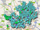
click on map for larger image on Wikimedia Common
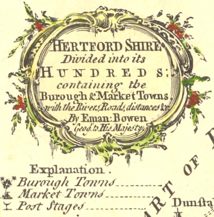
Published in
The natural history of England; or a description of each particular county ... Illustrated by a map of each county ... By Benjamin Martin. Volume II.
Part of The general magazine of arts and sciences, 1755-1764
The map is based on the earlier map by Kitchin, published in 1749.
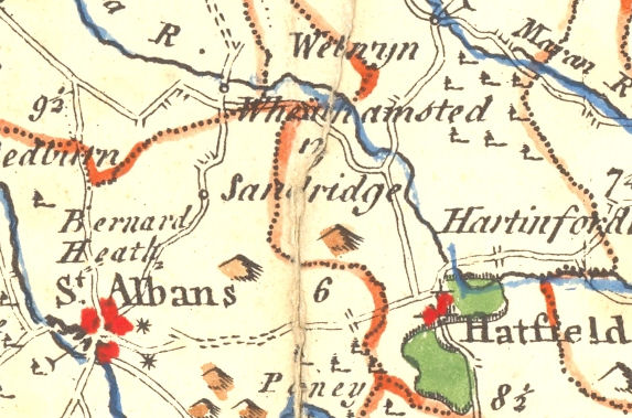
The above detail shows the parish
of Sandridge
