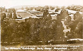
Icknield Way As you travel East along Icknield Way you come to a cross roads. To the North is a road that runs past the Isolation Hospital on its way to
The road to the South at the cross roads leads back to the centre of Tring. Continuing straight ahead you get to |
|
One of a set of six semi-glossy postcards of Tring issues by the R.A.P. Co, Ltd. The set must have been produced about 1932 as it included two cards of the newly opened Whipsnade Zoo. |
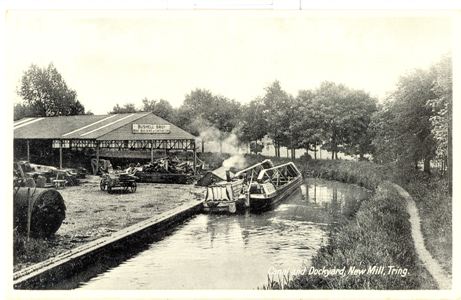
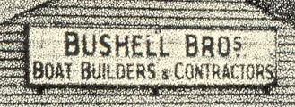
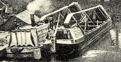
The two barges tied up on the wharf have the name of their owners written on the side. The bottom line of the sign on the left hand barge can be seen to be "Aylesbury." Please tell me if you can identify the company? |
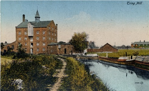
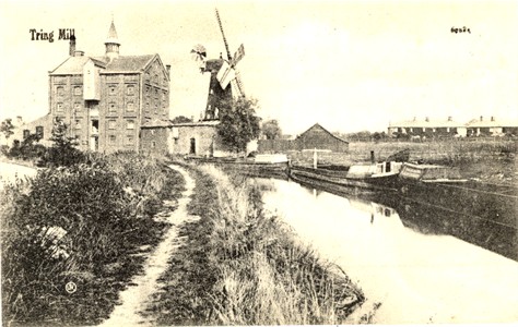
Tring Mill De Fraine &
Co, Tring In 1799 the Grand Junction Canal Company bought the water mill at New Mill and dismantled it but the canal was not finally completed until 1805. The loss of the mill, no doubt, created an opportunity for someone to build a windmill to take its place. The wharf at Tring was situated at the highest point of the canal and, with direct access to the barges for delivery of corn and distribution of flour, it was an ideal site for a windmill. I have not discovered the exact date when one was built but it can be narrowed down to between 1805 and 1820. The millers for the first 30 to 40 years were all Grover's. They were wharfingers as well as millers and must have had a profitable business at Gamnel Wharf. The 1841 census listed a William Grover, 60, Wharfinger, and in a separate household. Thomas Grover, 35, miller. His son, William, was only 2 but Thomas had two millers working for him, John Hilsden, 35. and his son, John, 16, who lived in a separate dwelling near the wharf. 11 to 13 years earlier, James Grover, William, the wharfinger's younger brother, had left the wharf to become the miller at Goldfield windmill, Tring. About 1845 the Grovers gave up being both millers and wharfingers at Gamnel wharf. [first paragraph of account in Cyril Moore's Hertfordshire Wind Mills and Millers] |
|
The Windmill was demolished in May 1911 - and the postcard was updated by painting it out!
The canal shown is the Wendover Arm of the |
|
Behind the Mill a road runs north, over a hump-backed canal bridge to |
|
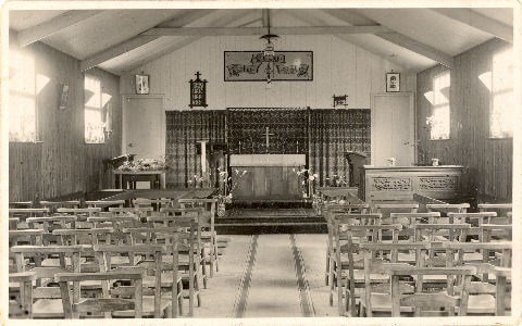
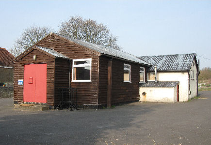
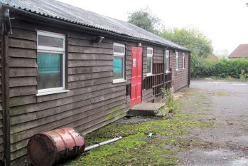
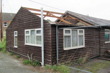
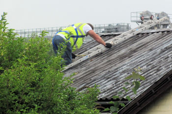
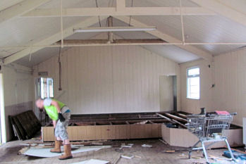
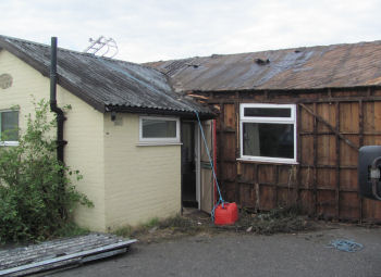
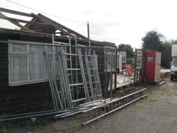
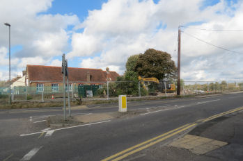
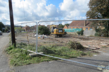
Post Card of St George's Mission Church è This building has an interesting history. After the outbreak of the First World War in 1914 units of the Royal Field Artillery moved to Hemel Hempstead. By the end of the year started on the construction of a military camp at Gadebridge, which was occupied in April 1915 and used for troop training. In 1918 the camp was converted for use as a military hospital and was used to treat soldiers with venereal disease. In 1920 the hospital was closed and in December 1920 the huts were sold off for re-erection elsewhere. This is one of the 34 accommodation huts, each 120 feet long. It was re-erected at New Mill by the Church of England as St George's Mission Church. This use continued until sometime after the Second World War, and the modern photograph (taken in 2010) shows it in its role as the New Mill Social Centre. è The building and site were owned by the local Parish Church and in September 2014 the building was removed to be rebuilt on a reconstructed First World War Army Camp at Bury St Edmunds. New houses will be built on the site. |
|||||||||||||||||||
|
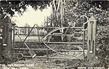
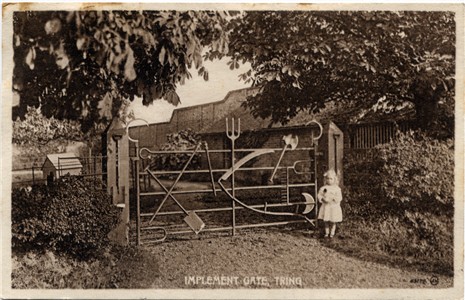
Implement Gate, Tring A picture of the gate
appeared in The Tatler of 13th September, 1905. |
||
This gate was made about 1900 for the Mr Mead, the miller at New Mill - and the postcard shows his daughter. It was constructed by Gilbert Grace, ironmonger of Tring. Click here for more information |
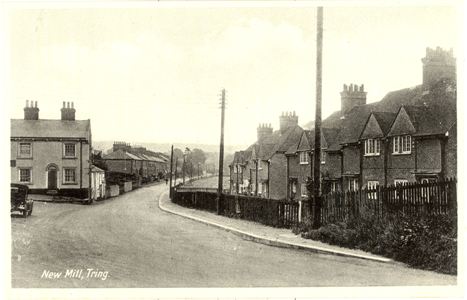
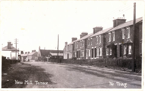
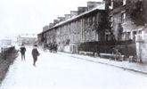
New Mill Looking south from the near the cross roads on the Icknield Way One of a set of six semi-glossy postcards of Tring issued by the R.A.P. Co, Ltd' produced about 1932 The houses in the distance are New Mill Terrace - see picture on EMERY, Tring, 19th/20th Century |
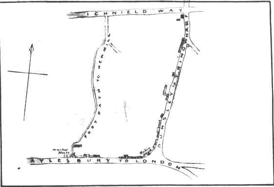
This sketch map comes from the enumerator's book for the area in the 1861 census. The above photograph was taken looking south from a short way south to the New Mill Cross Roads. The building on the left (a public house known as the Pheasant) is on the Y junction. For more about the naming of the road labelled "Dunsley to Tring Wharf" see Mill Lane, Tring , 1861 |
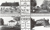
Travelling south the road to the right, opposite the New Mill Terrace, leads to New Mill Baptist Church, centre of local Nonconformity since 1655. |
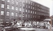
Continuing southward you pass the gas work on your left (now a block of flats) and then come to the Silk Mill on your right (now a number of commercial units in the old buildings). |
South of the Silk Mill you come to the Market
and beyond this you come to the Robin Hood Public House and the starting point of the walk.
Page updated July 2007