Holloways in Hertshire
|
Holloways in Hertshire |
|
The northern flank of the Chiltern Hills is characterised by steep-sided chalk hills. In many places the slope is such that walking straight up or down the slope is difficult, and would be even harder with, for example, pack horses. The natural way to climb from the lowland to the comparatively flat higher land is to take take a diagonal route up the slope. Easier routes were probably established in pre-historic times, and once a footpath had been established the thin soil would have worn away, and over the centuries the underlying chalk has worn away leaving a V-shaped trench running diagonally down the slope, usually being deepest near the top of the slope. Such tracks cost nothing and a large number existed running from villages and individual farms on the low ground to the common land on the hills.
With the coming of wheeled transport the V-shape of many holloways was a real problem - for instance it would be difficult for two carts to pass, and many fell into disuse and are "lost" in woodland in places like Ashridge - or remain as footpaths and bridleways.
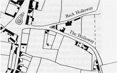
The Aldbury Holloways
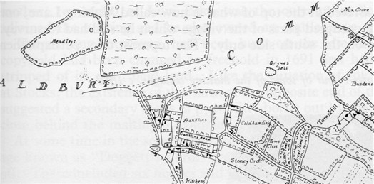 |
Detail of Thomas Godman's map of
Aldbury in 1803 The "modern" road was built a few years later and runs to Grymes Dell and then across the common.
|
|
Detail showing the Holloways, from the
Aldbury Tithe map 1840
|
 |
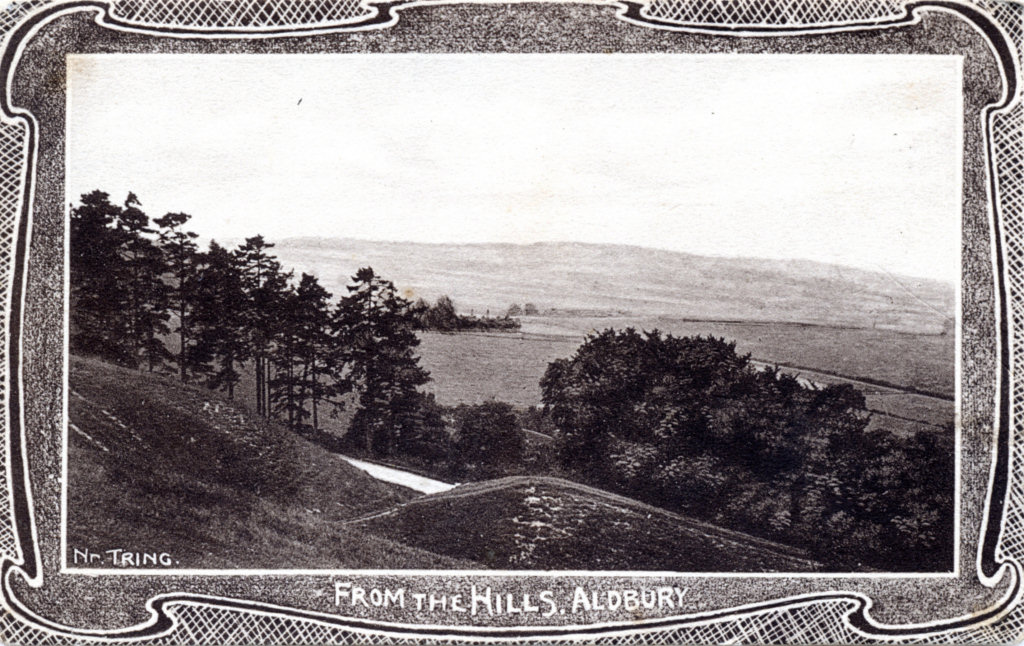 |
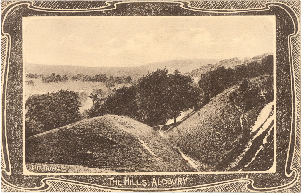
From The Hills, Aldbury A Franco Series Card circa 1910? The holloway named on the above map is the trench in the foreground, running down to the village pond. The 19th century road can be seen through the gap where a branch track (not shown on the map, but still in use) runs down to the Valliant Trooper end of the village.
|
|
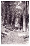
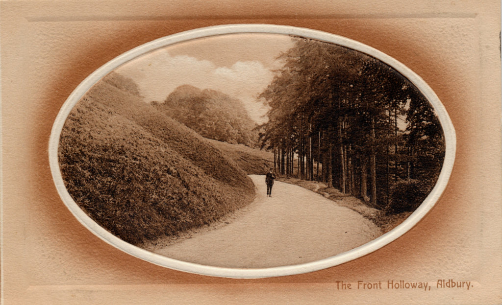
The Front Holloway, Aldbury In fact this picture is of the 19th century Toms Hill Road, the figure standing on the road is approximately where the road can be seen in the previous picture. |
 |
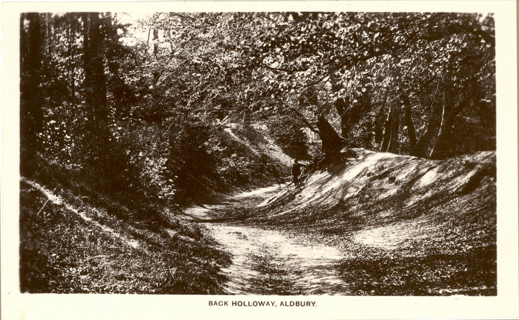 |
The Back Holloway, Aldbury This track is now the main pedestrian route that tourists use from Aldbury village to the Bridgewater Monument. |
|
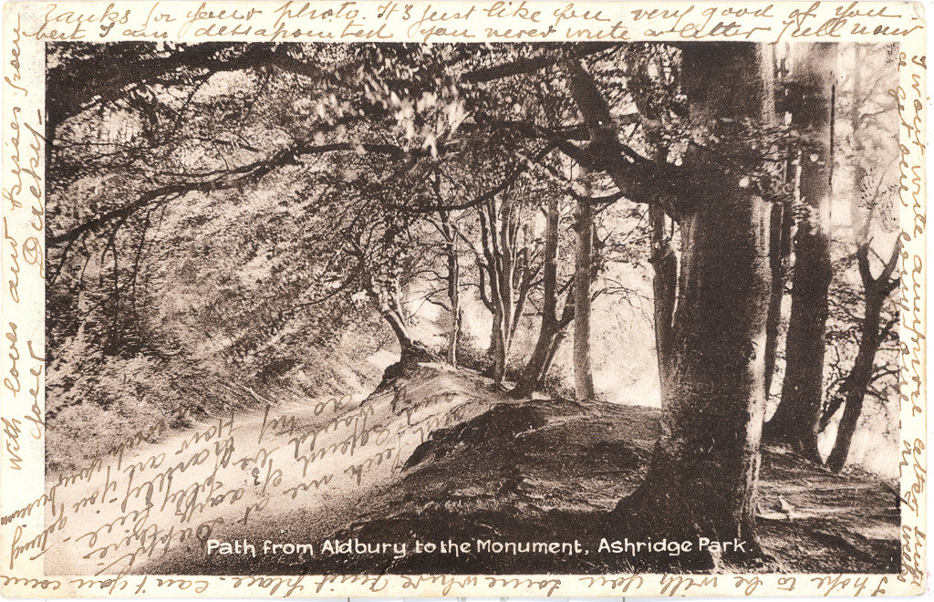
Path from Aldbury to the Monument, Ashridge Park A Franco Series Card No 388 |
 |
Some other Holloways
|
|
|
|
If you can add to the information given above tell me.
| November 2015 | Large images added |